Explained: Who Gains From 'Developing' A 'Wasteland' In India?
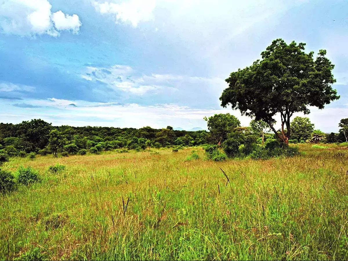
Bengaluru's Hesaraghatta grassland is once again in the spotlight after Chief Minister Basavaraj Bommai ordered the Forest Department to hold a public hearing before designating the area as a conservation reserve.

Bengaluru's Hesaraghatta grassland is once again in the spotlight after Chief Minister Basavaraj Bommai ordered the Forest Department to hold a public hearing before designating the area as a conservation reserve.
The head of the Karnataka State Wildlife Board, Bommai, stated during a recent meeting that the local community should be consulted before making any decisions. Additionally, he requested that the department submit a report after the public consultation is finished.
 bangaloremirror
A proposal to designate 5,010 acres of grasslands as a conservation reserve was presented by the Forest Department to the State Board for Wildlife in 2021, but the committee rejected the idea.
Vivek Saxena, the CEO of the Haryana State Compensatory Afforestation Fund Management and Planning Authority (CAMPA), then participated in a panel discussion on conserving open natural ecosystems for people, carbon, and biodiversity that was held in Sharm el-Sheikh, Egypt, in conjunction with COP27. Saxena emphasised the significance of open natural habitats, especially in concerns about climate change.
What is Open-Natural Ecosystem?
There are many different terrestrial biomes in India. They mostly consist of naturally open, frequently treeless environments, such as savannas and scrublands, grasslands, ravines, and dunes, each sustaining its own distinct combination of animal and plant life, with the exception of forests〞areas with closed tree canopies. Open Natural Ecosystems (ONEs) are widespread throughout India. They cover over 320,000 km2 and make up 15% of the land in our semi-arid region.
 Representational Image | Unsplash
ONEs include habitats with no trees in the desert, including sand dunes, as well as semi-arid savanna grasslands, savanna woods, and mesic savannas, which are typically categorised as "open forest." The lateritic plateaus of the northern Western Ghats, rocky outcrops, and other naturally treeless or sparsely vegetated geological features are also listed as ONEs. They take up roughly two-thirds of the area on Earth, according to some estimates.
Scientists Abi Tamim Vanak and MD Madhusudan, however, found that in India, around 70% of the regions with open natural ecosystems overlap with what the government refers to as "wastelands" in a study and large mapping exercise that was published in August 2022.
When the Indian Space Research Organization (ISRO) created the first Wasteland Atlas of India for the Department of Land Resources (DLR), Ministry of Rural Development, India began mapping its wastelands.
So what does the term "waste lands" mean?
Wastelands Atlas of India, the culmination of the most recent mapping cycle, which took place in 2015每16, was published in 2019. It claimed that wasteland makes up 557,665.51 square kilometres, or over 17%, of India's total land area. The government's definition of wasteland, however, is under scrutiny by Indian environmentalists.
The most crucial goal of mapping, according to the prologue of the Wasteland Atlas of India, is to "allow creating methods to bring such wastelands back into the productive folds once again."
 Representational Image | Unsplash
The report went on to say that although it is crucial for politicians to protect such priceless and limited resources. Simply expressed, it is anticipated that no one will receive any ecological or socioeconomic benefits from these lands. More crucially, it makes the assumption that some of these areas do not support resilience to climate change and must be put to better use.
Many of the "wasteland" plots that are designated for "restoration" or "development" have historically been owned and administered by local communities. They consist of communal areas and agricultural grounds, particularly pastures. Who will gain from the proposed activities in these plots is the current concern.
Who will benefit from developing wasteland in India?
The wasteland classification is a fairly practical method of dividing up vast swaths of land for "more productive uses." Land that is common or undeveloped is not "productive" in the strictest sense of the word. However, it generates some economic activity if you turn it into solar farms, farms, an industrial sector, or plantations (for lumber), Abi Vanak, convenor of the Centre for Biodiversity and Conservation at the Ashoka Trust for Research in Ecology and the Environment (ATREE) told the Thirdpole.
According to environmental activist and writer Nityanand Jayaraman of Chennai, the label "wasteland" "makes it easier to sidestep land acquisition regulations for 'greening' and for industrialization."
