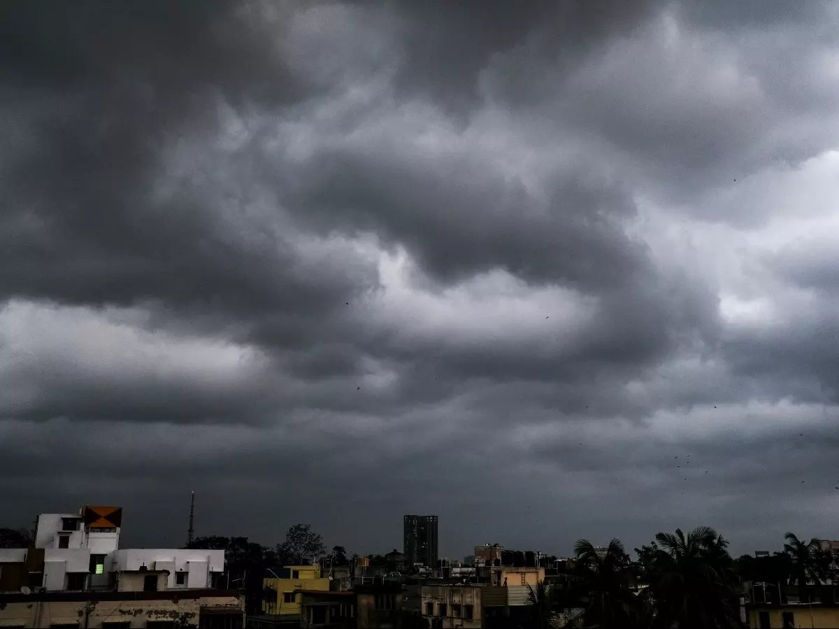
Nisarga Could Become 1st-Ever Tropical Cyclone To Hit Maharashtra In June If It Makes Landfall
Just days after Super Cyclone Amphan wreaked havoc in West Bengal and Odisha the Indian coast is bracing for another cyclonic storm this time in the Arabian Ocean. According to the Indian Meteorological Department IMD a low-pressure area formed near the southeast Arabian Sea and Lakshadweep on Saturday will intensify into a depression and later deep depression. It will further gain momentum and transform into Cyclone Nisarga before it hits land a...Read More

Just days after Super Cyclone Amphan wreaked havoc in West Bengal and Odisha, the Indian coast is bracing for another cyclonic storm, this time in the Arabian Ocean.
According to the Indian Meteorological Department (IMD) a low-pressure area formed near the southeast Arabian Sea and Lakshadweep on Saturday will intensify into a depression and later deep depression.
 AFP
AFP
It will further gain momentum and transform into Cyclone Nisarga before it hits land and cross North Maharashtra and South Gujarat coast on June 3.
"The Low-pressure area intensified into a depression today morning. To intensify into a Cyclonic Storm and cross North Maharashtra and South Gujarat coast during 3rd June evening/night," IMD said.
IMD in its bulletin issued on Monday stated, the well-marked low-pressure area over Southeast and adjoining Eastcentral Arabian Sea and Lakshadweep area concentrated into a depression over Eastcentral and adjoining Southeast Arabian Sea and lay centred at 0530 hours IST of Monday.
 SCREENGRAB
"It lay centred near latitude 13.0��N and longitude 71.4��E, about 400 km southwest of Panjim (Goa), 700 km south-southwest of Mumbai (Maharashtra) and 930 km south-southwest of Surat (Gujarat). It is very likely to intensify into a Deep Depression over Eastcentral and adjoining Southeast Arabian Sea during next 12 hours and intensify further into a Cyclonic Storm over the Eastcentral Arabian Sea during the subsequent 24 hours.
It is very likely to move nearly northwards initially till June 2 morning and recurve north northeastwards and cross north Maharashtra and south Gujarat coasts between Harihareswar (Raigarh, Maharashtra) and Daman during evening/night of 03 rd June,2020," said IMD.
Under the influence of the depression, light to moderate rainfall is likely at most places with heavy to very heavy rain at a few places and extremely heavy rain at isolated places over north Konkan and north Madhya Maharashtra on 3rd and 4th June.
 AFP
AFP
The IMD has issued an orange-colour coded warning to Kerala, coastal Karnataka, Goa and coastal Maharashtra for June 1. The same warning applies to coastal Maharashtra and Goa for June 2.
Meanwhile, Skymet on Sunday said a low-pressure area has formed over the southeast and adjoining East Central Arabian Sea. It is expected to concentrate into depression by Monday and by June 2 it may further intensify into a cyclone "Nisarga".
"Maharashtra and Gujarat coast will experience rough sea conditions between June 2 and 5. Wave height will be around 12 to 16 feet and winds will be 60 to 70 kmph gusting to 80 and 90 mph," said SKymet.
This is the first time in over a century a weather system is intensifying into a cyclone and making its landfall near Mumbai or on the Maharashtra coast during June.
According to the IMD's Cyclone E-Atlas, since it began data collection in 1891, there has not been any record of cyclone along the Maharashtra coast in June.
