Massive Landslide Hits Uttarakhand's Rudraprayag Village, Razes Cowsheds, Toilets: What We Know
A landslide occurred on Monday in Rudraprayag razed several cowsheds and toilets, prompting the administration to shift close to a dozen families to safer places.

A landslide occurred in Rudraprayag razed several cowsheds and toilets, prompting the administration to shift close to a dozen families to safer places.
The landslide occurred in the hilly Jhalimath village of Rudraprayag on Monday morning as a chunk of the slope beneath the village slid several hundred metres down to the banks of River Alaknanda, District Disaster Management Officer (DDMO) Nandan Singh said.
The landslide was not caused by rain as the day was clear and sunny, he said. As the landslide is active, eleven families living in houses, which have become unsafe, have been shifted to safer places, Singh said.
#WATCH | Uttarakhand | A landslide occurred today morning at Jhali Math in Sari village of Rudraprayag district.
¡ª ANI UP/Uttarakhand (@ANINewsUP) February 28, 2022
Disaster management and administration teams are present on the spot. As of now, there is no information about loss of life or property: Rudraprayag DM Manuj Goyal pic.twitter.com/dmGUqZTriJ
So far, no casualties have been reported.
The region comes in a seismic zone and has fragile mountains.
The disaster management and administration teams are present on the site of the incident.
51% of Uttarakhand in a severe landslide zone
A study by Wadia Institute of Himalayan Geology (WIHG) in Dehradun has found that 51 per cent of Uttarakhand falls under 'high' and 'very high' landslide susceptible zones.
Some religious tourist destinations such as Uttarkashi, Badrinath, and Munsiayari fall in 'high' to 'very high' landslide-susceptible zones, the study, published in the Journal of Earth Systems this week, stated.
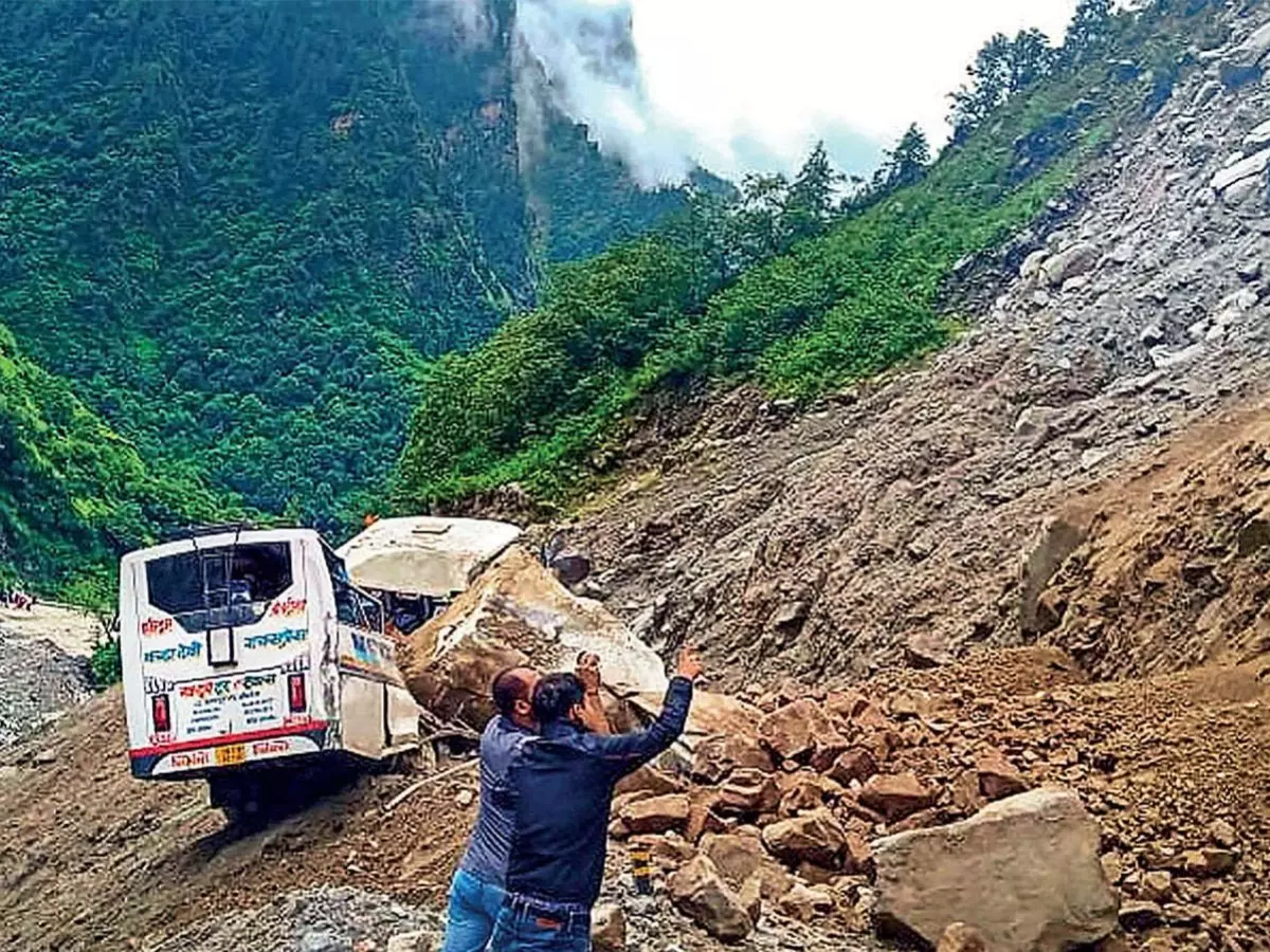
 Representational Image
Researchers studied all the 13 districts of Uttarakhand after noting that 11 districts in the hill state witnessed an enhanced number of landslides in the past few years.
Northern districts such as Chamoli, Pithoragarh, Bageshwar, and Rudraprayag are also more susceptible.
'High' and 'very high' landslide-susceptible zones are located in the vicinity of the Main Central Trust and the higher Himalayas, whereas zones with 'low' and 'very low' susceptibility were in Indo-Gangetic plains, the study found.
¡°There has been a lot of human interference on slopes in the form of development activities, such as the construction of hydropower projects, tunnels, dams, bridges, new roads, etc," senior scientists Vikram Gupta and Sandeep Kumar of WIHG told The Times of India.
The researchers said many of these activities have impacted the geological conditions of the state.
For more on news and current affairs from around the world, please visit Indiatimes News.
