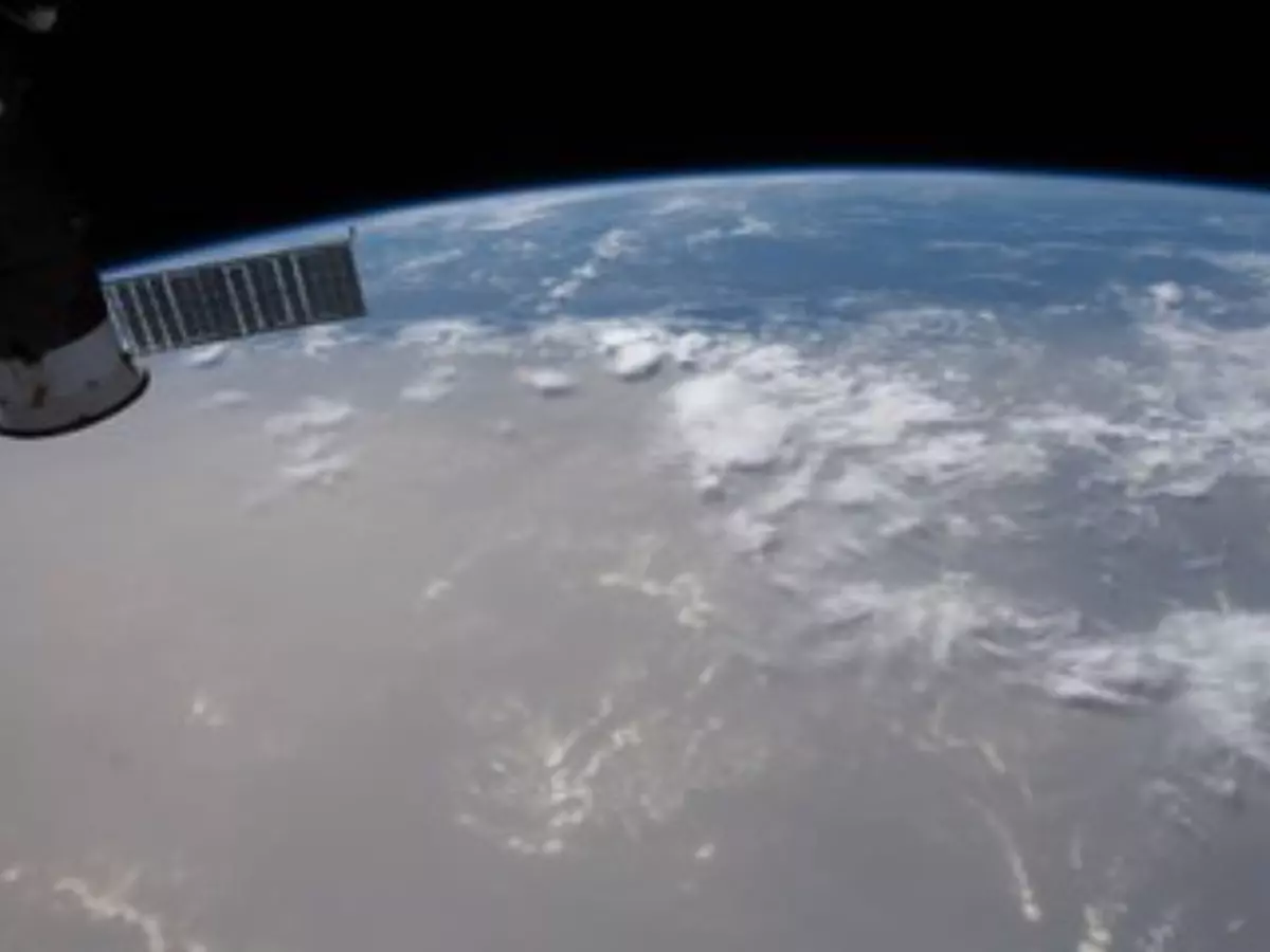
Saharan Dust Cloud Moving Towards The US Is So Huge, It Can Be Seen From Space
A massive plume of dust whipped up from the Sahara desert will hover over the US Southeast. The 5,600 km cloud travelled from North Africa before reaching the many parts of US.

Every year, massive dust clouds arise from the Sahara desert and travel across the Atlantic Ocean to the southern United States. They are known to be intact while travelling across the ocean and fade away by the time they hit the Caribbean.
 DOUG HURLEY (@ASTRO_DOUG)/NASA
But, just like many other things, the yearly Saharan dust clouds are also unusual in the year 2020. They're so opaque and thick that it can be clearly seen from the International Space Station.
Australian Bushfires. Global Pandemic. Murder Hornets. Social Unrest. Ocean Crossing Saharan Dust Storm.
�� KidEgo (@J0E_D4CY) June 26, 2020
Are we all playing #Jumanji and no one told us?!?#2020WTF #COVID19 #SaharanDust #murderhornets #fridaymorning
Also Read: After Bushfires & Floods, Australia Hit By Golf-Ball-Sized Hail & Massive Dust Storms!
This year, the dust is the densest it has been in a half a century, several meteorologists told Reuters.
Here's the latest dust loop... lots of clouds along the Gulf Coast blocking it but you can clearly see the haze near coastal areas of Louisiana, MS, AL and the FL Panhandle. pic.twitter.com/qKpRERl8uG
�� Jeff Berardelli (@WeatherProf) June 25, 2020
"Normally they��re wispy and not very particulate. Just this past week, the international space station was able to look down upon the earth and see this gigantic dust cloud coming this way," Dr. Aaron Milstone, a pulmonologist at Williamson Medical Center, told Newschannel5.
The station orbited above the shadow of the solar eclipse in Asia then the Saharan dust cloud over the Atlantic on June 21. https://t.co/qcHlvByj8M pic.twitter.com/npgL857jSC
�� Intl. Space Station (@Space_Station) June 23, 2020
The 3,500-mile-long (5,600 km) cloud, dubbed the "Godzilla dust cloud," travelled 5,000 miles (8,047 km) from North Africa before reaching the region stretching from Florida west into Texas, and north into North Carolina through Arkansas, the National Weather Service (NWS) said.
NOAA's GOES satellite captured this series of images on Friday, as the dust entered the deep tropical Atlantic from Africa.
Today's view of a large Saharan dust plume.
�� CIRA (@CIRA_CSU) June 19, 2020
Watch in near-realtime: https://t.co/mtWrgxAxqY. pic.twitter.com/aq4Ozto4Ng
These dust plumes, called the Saharan Air Layer (or SAL) come about after severe wind storms strike the Sahara. The dust cloud moved into the eastern Caribbean at the weekend and by Tuesday (June 23) had smothered Hispaniola, Jamaica, Puerto Rico and eastern Cuba, continuing its advance up and westward toward Central America and southern United States.
Shift in the #NASA dust forecast now pushes the initial wave into Louisiana, MS, AL and the Florida Panhandle today and tomorrow... and then the 2nd push into Texas Friday-ish which then takes a right turn and heads into the SE/ TN Valley this weekend. pic.twitter.com/zIL5IHr8tQ
�� Jeff Berardelli (@WeatherProf) June 24, 2020
"This is the most significant event in the past 50 years. Conditions are dangerous in many Caribbean islands," Pablo M��ndez L��zaro, from the University of Puerto Rico's School of Public Health, told the Associated Press.
On social media, many posted a series of before and after photos taken in Caribbean islands like Antigua, St. Barts, Puerto Rico and Trindad and Tabago:
#1
Here is an amazing comparison with a near perfect day to today. Looking east over the #VCBirdAirport, #Antigua towards the Atlantic. You can barely see beyond 3 miles. pic.twitter.com/j7HHDBa93K
�� 268Weather (@268Weather) June 21, 2020
#2
Ok, last dust pic for today and this one is perhaps the most incredible yet. The comparison photos were sent to me from Mirco Ferro who lives in St. Barthelemy. Check the dates in the photos (top is from March) - both are unfiltered or altered in any way. #SAL #DUST pic.twitter.com/FBwOG5ly1E
�� Mark Sudduth (@hurricanetrack) June 21, 2020
#3
The sky is on fire!! #Miami #sunset #summer pic.twitter.com/5lEavj1uoq
�� Brian McNoldy (@BMcNoldy) June 22, 2020
"There's emerging evidence of potential interactions between air pollution and the risk of COVID, so at this stage we are concerned," said Gregory Wellenius, an professor of environmental health at Boston University's School of Public Health.
Officials across the region warned locals to remain at home when possible and wear a face mask, especially if they already have a respiratory condition.
Also Read: After 60 Days, The Indian Airspace Is Open And These Maps Show The Difference
